How We Look At Your Property
When your community risk score is high, the XHome Survey app helps you take the next step.
Using your phone or iPad, you walk around the exterior of your home while the app guides you through a short AI-directed video survey and utility-risk inventory—capturing key details such as doors, windows, gas meters, vents, siding, roof edges, vegetation, drainage, and other visible risk factors.
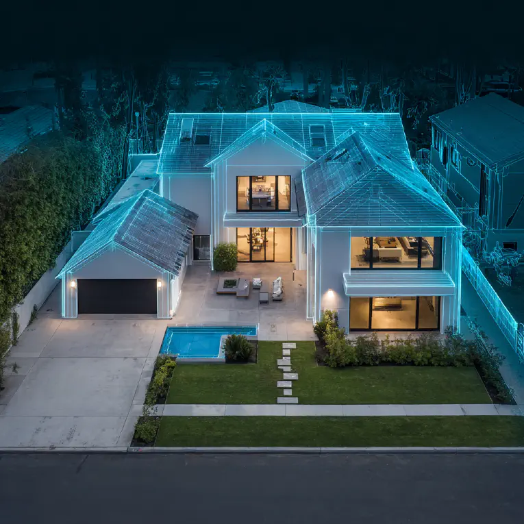
The video is then blended with aerial imagery through NVIDIA Omniverse to create a scaled 3D model of the property with up to 97.3% accuracy—without requiring LiDAR.
From there, XHome Survey helps identify vulnerable components and provides the digital foundation for resilience planning, remodeling decisions, contractor estimates, and homeowner action.